MOBILE MAPPING
DRIVE INNOVATION
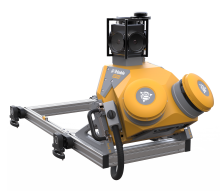
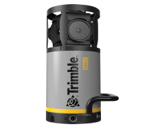
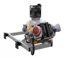
Trimble’s vehicle-mounted mobile reality capture systems seamlessly combine georeferencing technologies with high-speed laser scanning and high-resolution imaging sensors.
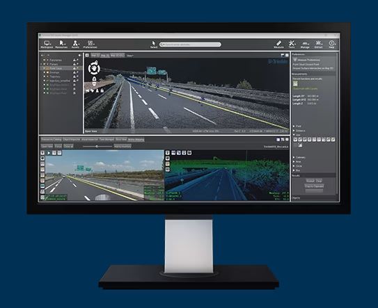
This integration enables the rapid collection of vast amounts of precise, georeferenced spatial data, which can be effortlessly transformed into detailed 3D models, maps, GIS deliverables, and beyond.


